Norfolk Pines of ‘Beckby’
Norfolk Pine Trees, Thorps’ House ‘Beckby’
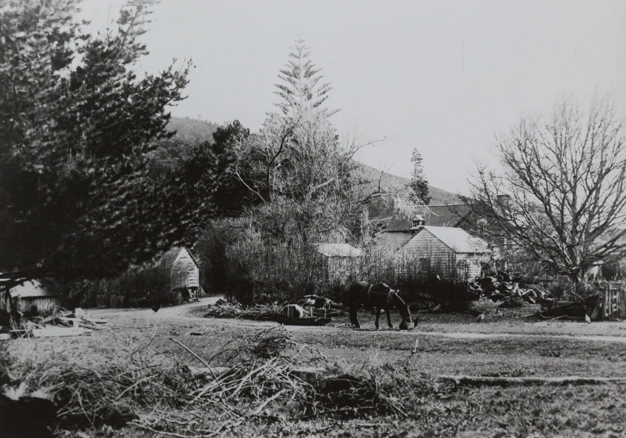
Viewed from Taitaia Stream Walkway
Trail marker #5
Visible from the Taitaia Stream walkway, the two Norfolk Pines that stand on top of the hill mark the site of the Thorp family home, ‘Beckby’.
In 1853, Paeroa-based farmers Joshua Thorp and his sons came by boat looking for new farmland around the area south of Auckland when a tip-off led them to the Wairoa River. After rowing upstream to McNicol’s landing and surveying the bush-covered hills, they eventually secured land from the Crown.
A subdivision plan drawn up in the Survey office showed straight lines, irrespective of contour, and no public means of access to sections not on the river bank. Most of the land was covered in thick bush, including the hills on the west. The settlers were required to cut the bush from their boundary lines and then a surveyor would measure and peg the lines. After buying a portion of the land, the Thorps, together with local Maori man, Erua, put up a tent and started cutting and measuring lines for the Government. Some of the land was in the hills and of no use for cultivation but it provided timber for fences and sheds. By 1855, Joshua had bought 892 acres, building a homestead and carving paddocks from dense forest.
With many settler families still housed in temporary whare, the Thorps set out to build a two-storey dormer-windowed house with several outbuildings. Building a home in the Wairoa Valley in the 1850s was a long and painstaking process. They harvested kauri from the hills behind them, and brought more still up the river from the Coromandel. The house had a brick wall and the bricks were hand-made and fired on site. Shells and oysters from Pakihi Island were burnt in a kiln for lime mortar. Thousands of shingles were hand cut by two sawyers.
In September 1859, the Thorps planted two Norfolk pines beside their homestead. Although the homestead was eventually demolished, the Norfolk pines are today afforded heritage protection and remain standing on ‘Beckby Way’ in the Clevedon North residential subdivision. Beneath these landmark trees new families carve out a life in Clevedon.


Location Map
You are currently at Heritage Trail Location #5, Norfolk Pines of ‘Beckby’
Ready to see the next site? Follow the path highlighted on the adjacent map or follow the directions below to reach your next location:
All Souls Anglican Church (approx 900m)
-
Next site:
All Souls Anglican Church (approx 900m)Continue along the Taitaia Stream Walkway, which will return to North Road. Cross North Road at the site of the old vicarage (45 North Road) and continue up the driveway of the church. Enter the churchyard and walk around the church to view the grave sites of some of the earliest settlers, the Thorp family.

The information for each site has been thoughtfully prepared in collaboration with the Clevedon Districts Historical Society, drawing on Voices of Belonging by Jessie Munro, Yesteryears by F. Murray, and records from the McNicol Homestead Museum. Together, they tell the story of Clevedon and the people and places that made it the community we know today.
A special acknowledgement to photographer Donna Jepsen for her work capturing these sites as they appear today.
-
“Voices of Belonging”, Jessie Munro, 2016. Available to view and purchase at McNicol Homestead and for loan from the Clevedon Rural Library.
“Yesteryears”, Fraser Murray, 2009. Available to view and purchase at McNicol Homestead.
The Archeology of Clevedon Village and Wairoa River Valley, Opus.
The History of Clevedon School
An broad overview of our local history is available at clevedon.co.nz
Ngai Tai ki Tamaki’s history is rich and detailed in a number of online records;
• Ngāi Tai ki Tāmaki website (“Our Stories”)
• Ngāi Tai ki Tāmaki’s Deed of Settlement (Section 2.0 Historical Account)
• Clevedon School 150 year anniversary summary